Blank Map of Tasmania (Free Printable PDF)
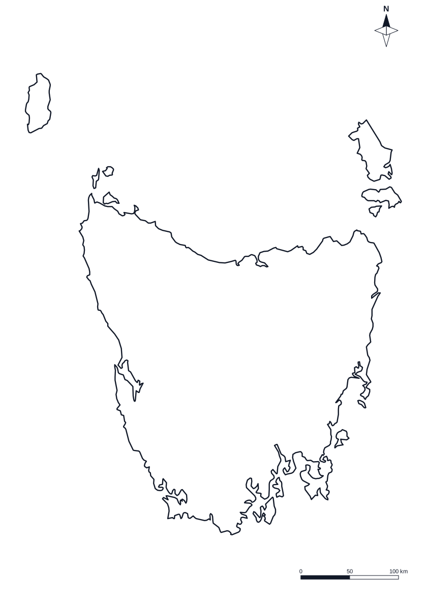
Tasmania on one A4 page, with Hobart marked or left for your class to name.
State
Tasmania
Capital city Hobart
An island, across Bass Strait.
Prints Outline only Change
Choose your sheet
More optionsBlack and white, compass, scale bar
Map skills resources by Aussie teachers
About the map of Tasmania
Tasmania is a state of Australia, and its capital city is Hobart. It is an island state, separated from the mainland by Bass Strait. The outline is drawn at a larger size than on the map of Australia, so the coast and the larger islands show more detail.
Which version should I print?
- Outline only: a clean shape for students to colour, label, or add towns, rivers and routes.
- Capital city labelled: Hobart marked with a dot and its name.
- Capital dot for a test: the dot, and a line to write the name of the capital city.
You can also print the whole country: see the blank map of Australia with every state and territory.
Blank maps of the other states and territories
- Blank map of Australia
- Blank map of NSW
- Blank map of Victoria
- Blank map of Queensland
- Blank map of Western Australia
- Blank map of South Australia
- Blank map of the ACT
- Blank map of Northern Territory
Questions teachers ask
Is the blank map of Tasmania free to print?
Yes. Download or print the one-page A4 PDF. It is free for 5 sheets a month, with no sign-up, and you can photocopy it for your class. The Tools Pass removes the limit.
Which version of the Tasmania map should I use?
Outline only is a clean shape to colour, label or draw on. Capital city labelled marks Hobart with a dot and its name, as an answer sheet or a reference. Capital dot for a test marks the dot and leaves a line for students to write the name.
Which states or territories border Tasmania?
Tasmania is an island, separated from the mainland by Bass Strait. Its capital city is Hobart.
Why does the map print portrait or landscape?
Tasmania is taller than it is wide, so its map prints on a portrait A4 page to make the map as large as possible.
What islands are on the map?
The larger islands that belong to the state or territory are drawn. Very small islands are left out so the outline stays clean to colour and label.