Blank Map of Australia (Free Printable PDF)
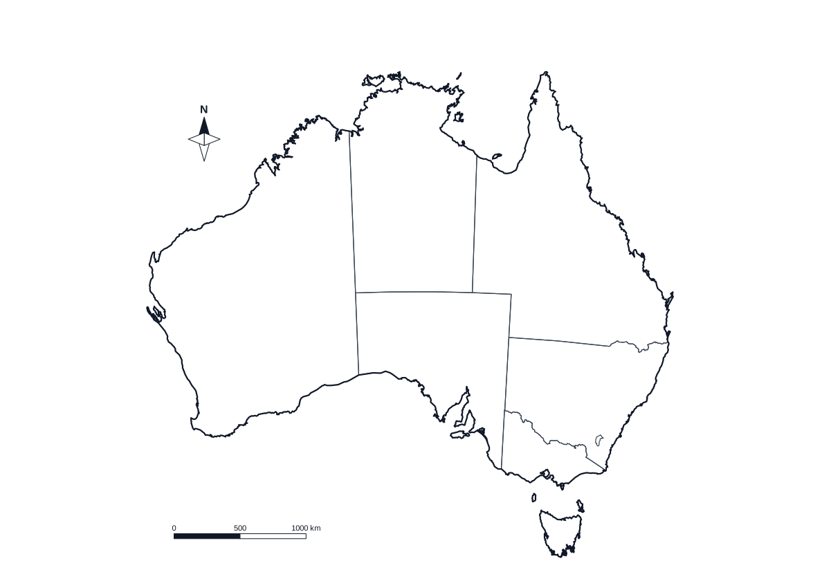
Tap a state to see its name and capital, play Find it on the class board, or print the sheet you need.
Tap a state or territory
Prints States and territories Change
Choose your sheet
More optionsBlack and white, compass, scale bar
Map skills resources by Aussie teachers
Blank map of each state and territory
Need one state on its own page? Each has a larger outline map to print, with its capital city marked or left blank.
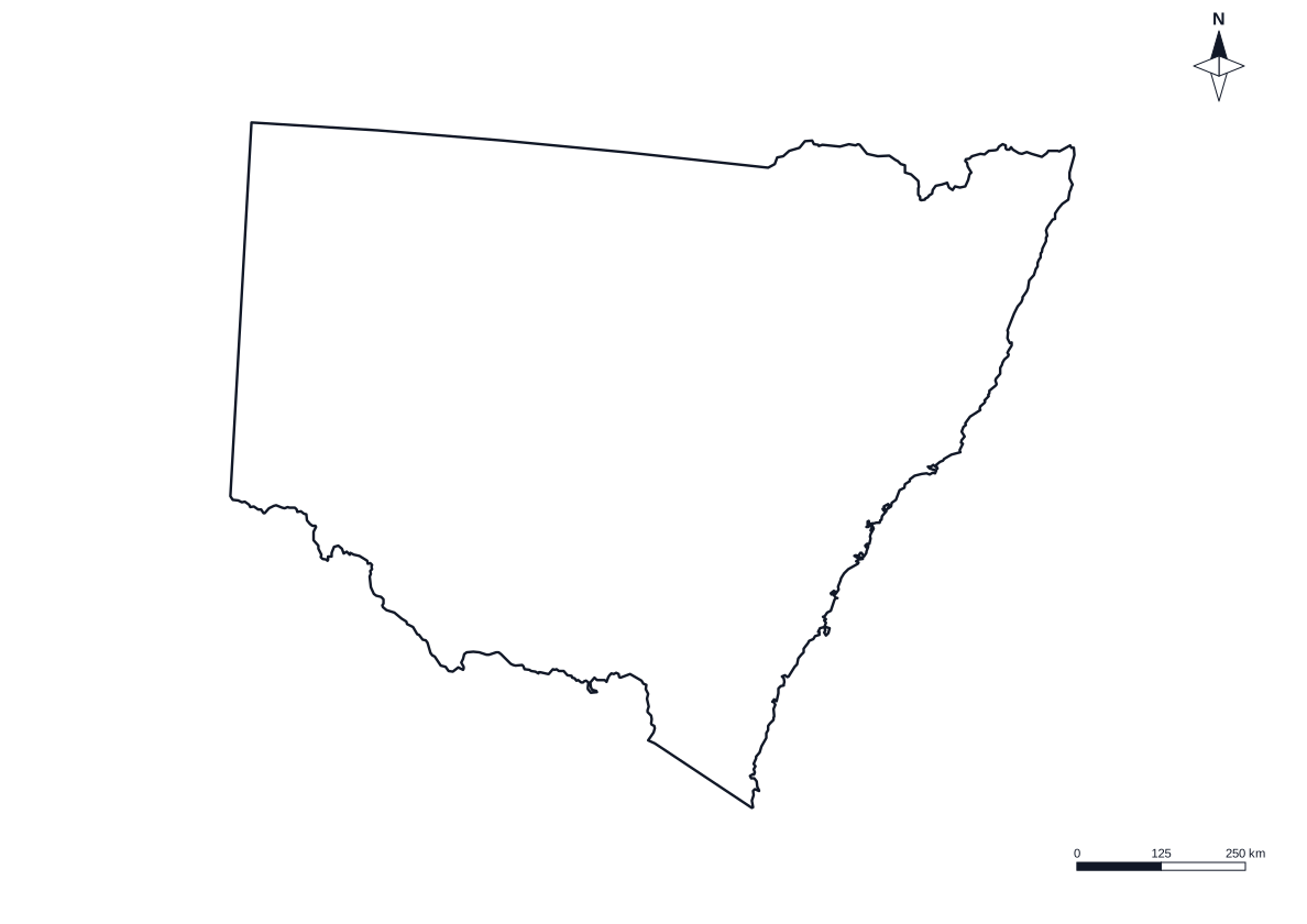 New South Wales
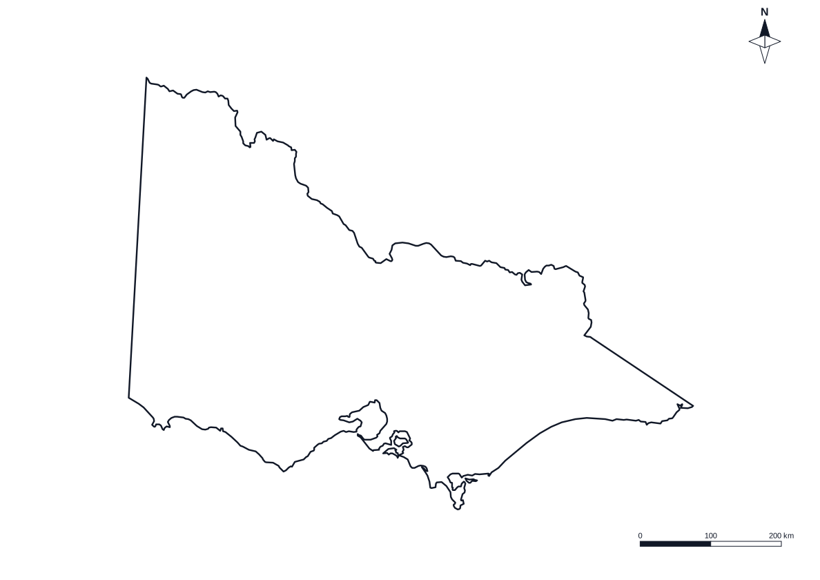 Victoria
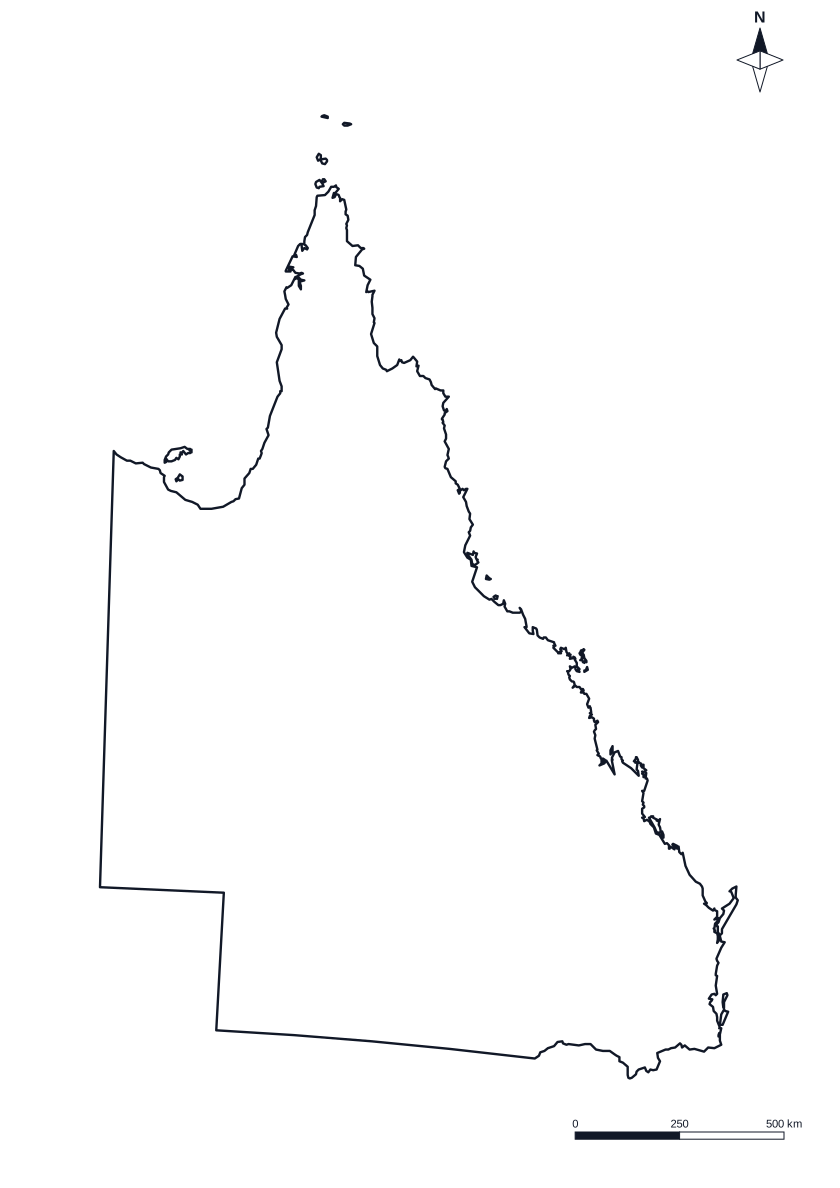 Queensland
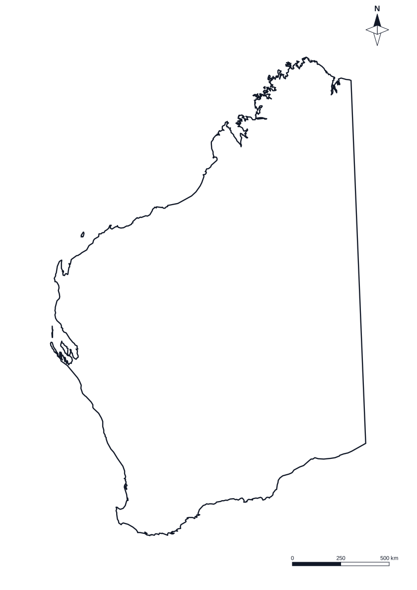 Western Australia
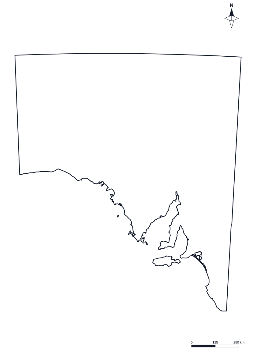 South Australia
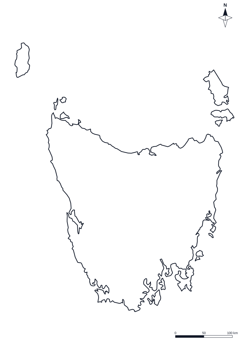 Tasmania
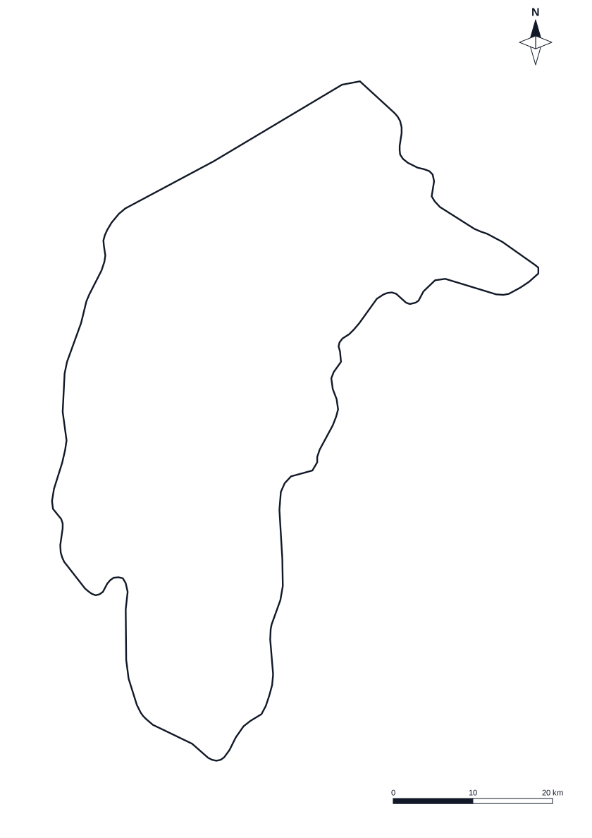 Australian Capital Territory
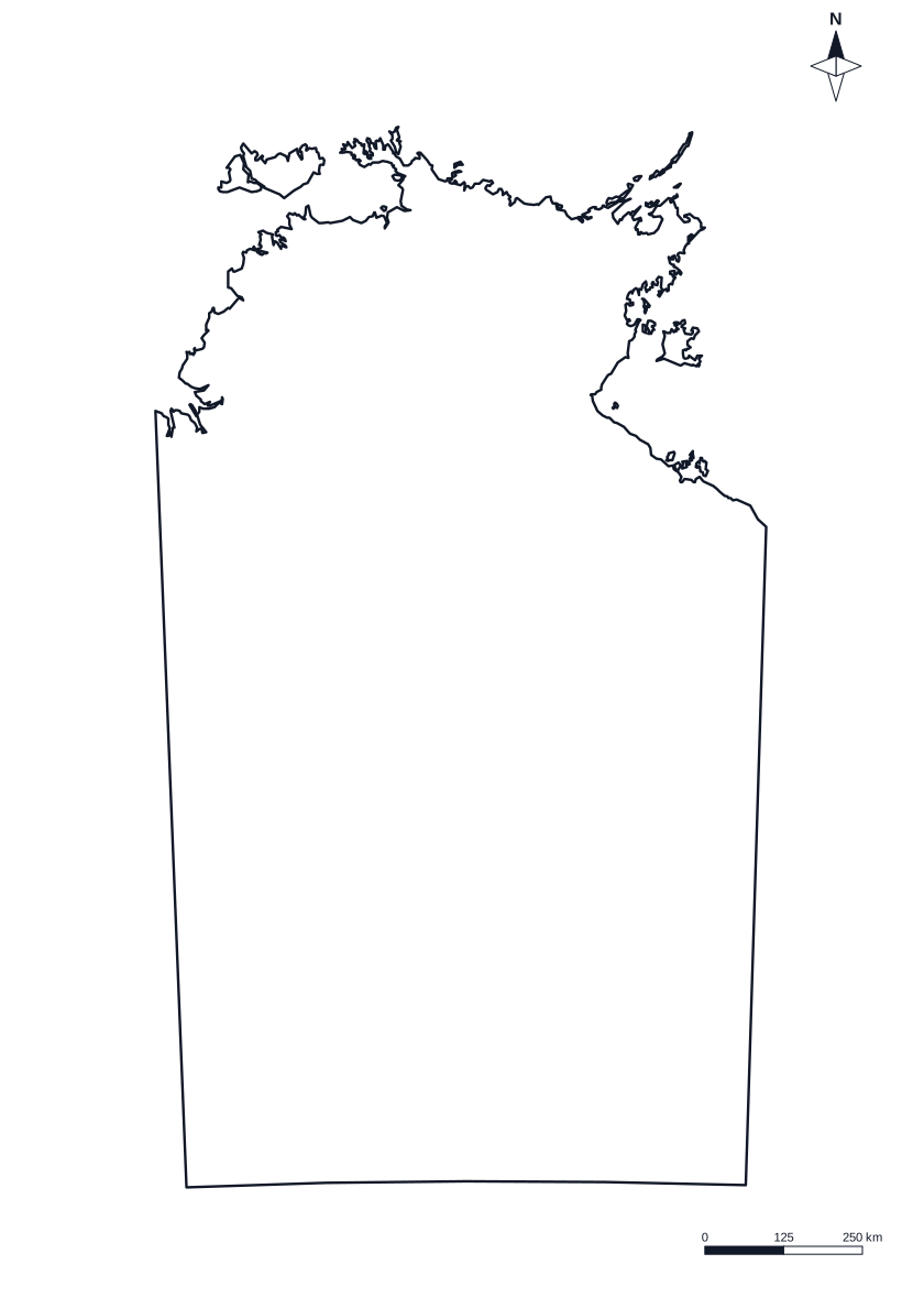 Northern Territory
Which blank map of Australia should I print?
- Outline only: the coastline and nothing else. Students draw in the state borders, a route, rivers or their own key.
- States and territories: the borders, with no names. The most common blank map, for colouring in, labelling by hand or a first look at where each state sits.
- Numbered to label: each state and territory has a number, with eight answer lines beside the map. A ready worksheet, with nothing to cut or paste.
- States labelled: the same map with every name on it, for an answer sheet or a wall map to check against.
- Capital cities labelled: a dot and a name for Perth, Darwin, Adelaide, Brisbane, Sydney, Canberra, Melbourne and Hobart.
- Capital dots for a test: the eight dots are numbered, with answer lines beside the map for students to write each capital city.
Under More options, add a title and name line to make it a worksheet, and choose black and white or colour. The compass rose and scale bar can come off for a cleaner map.
On the class board
The map at the top of this page is made for the interactive whiteboard. In Explore, tap a state or territory and its name and capital city appear in large type, big enough to read from the back of the room. In Find it, the page names a place and the class takes turns to tap it. Each answer is marked right or wrong, and the score is out of eight. The ACT is tiny at that size, so it has its own round button in the sea, joined to it by a line.
The states, territories and capital cities of Australia
Australia has six states and two major mainland territories, the ACT and the Northern Territory. Each has one capital city, and Canberra is the national capital.
| State or territory | Short name | Capital city |
|---|---|---|
| New South Wales | NSW | Sydney |
| Victoria | VIC | Melbourne |
| Queensland | QLD | Brisbane |
| Western Australia | WA | Perth |
| South Australia | SA | Adelaide |
| Tasmania | TAS | Hobart |
| Australian Capital Territory | ACT | Canberra |
| Northern Territory | NT | Darwin |
Where maps fit in the primary years
Locating places on a map is part of geography and humanities lessons across the primary years, and a blank map of Australia is one of the most used sheets for it. Younger students learn that Australia is a country made of states and territories and find their own state. Older students name them all, match capital cities and use a scale and a compass to describe where a place is. Year levels differ by state and syllabus, so check your own. In New South Wales, naming the states and territories and the capital cities sits in Stage 1 Geography: see the People and Places guide and the HSIE geography resources.
Ideas for using a blank map of Australia
- Australia Day: label the states and territories and their capital cities, then colour the map to show where students were born or have travelled.
- A states and capitals test: print the capital dots version, or the numbered version for the states, and mark it from the labelled version.
- A class trip map: mark where the class is going on the outline, draw the route, and use the scale bar to measure how far it is.
- Match the capital: hand out the labelled map as a key, and have students label a blank one from memory a week later.
- In the news: mark where a weather event or a news story happened and name the state it is in.
- Colour by state: collect a fact for each state, such as a famous landmark or an animal, and show it with a colour key.
About this map
The outlines come from Natural Earth, a map data set in the public domain, and are drawn in a Lambert conformal conic projection with the same standard lines (18 and 36 degrees south) that Geoscience Australia uses for national maps. That keeps the shape of the country familiar. The scale bar is true on those lines and within about 4 per cent across the mainland and Tasmania. Very small islands are left out, and so are Lord Howe Island, Macquarie Island and Jervis Bay Territory, so these maps are for learning and labelling, not for navigation or surveying.
Questions teachers ask
Is the blank map of Australia free to print?
Yes. Choose a version, then download the PDF or print it. It is free for 5 sheets a month, with no sign-up, and you can photocopy the map for your class, a test or a display. The Tools Pass removes the limit.
Which version of the map should I use?
Use Outline only to draw in your own borders or a route. Use States and territories to colour or label by hand. Use Numbered to label for a worksheet, with eight answer lines beside the map. Use States labelled or Capital cities labelled as an answer sheet or a wall map, and Capital dots for a test.
Can I print it in black and white, and in colour?
Both. The map prints in black and white by default, which suits a photocopier and students who will colour it themselves. Choose Colour under More options for a pale fill on each state and territory, light enough to write on.
What size is the PDF, and can I make it bigger?
It is one A4 page in landscape. The map is drawn as vector lines, so it stays sharp when a photocopier enlarges it to A3 for a wall.
Where is the ACT, and what is left off the map?
All eight states and territories are drawn. The Australian Capital Territory is small, so on the numbered and labelled maps it has a line out to its number or name. Tasmania, Kangaroo Island and the other large islands are on the map. Very small islands are left out, and so are Lord Howe Island, Macquarie Island and Jervis Bay Territory.
Is the scale bar accurate, and where does the map come from?
A flat map of a curved country cannot be exact everywhere, but the scale bar is true on the standard lines of the projection and within about 4 per cent across the mainland and Tasmania. The outlines are Natural Earth data, which is in the public domain, drawn with the same type of projection that Geoscience Australia uses for national maps.